
Map output examples
See what a finished MapPrint+ exhibit can look like.
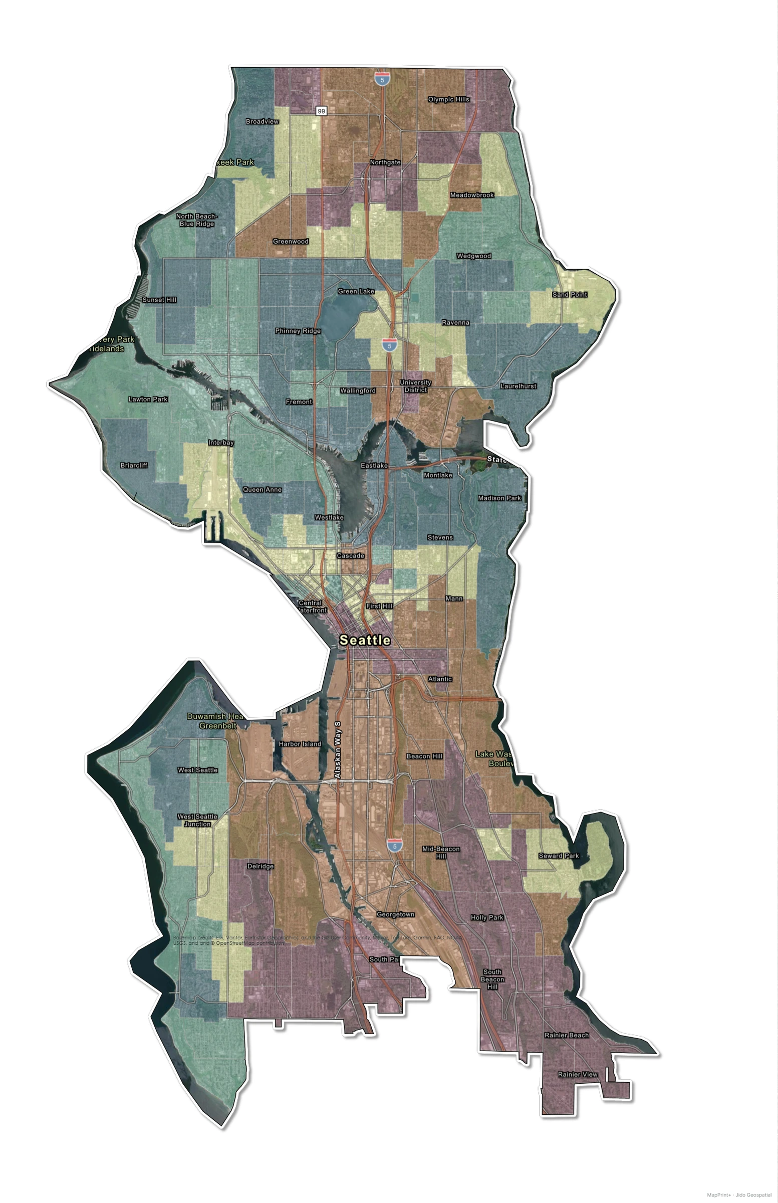
These examples show planning, land-use, engineering, environmental, community, and location-map layouts. Select any image to open the readable full-size output.
Planning and land use
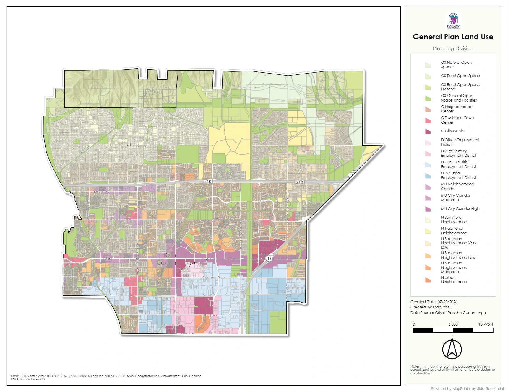 Planning side-panel exhibitA planning layout that balances the mapped area with supporting project information.
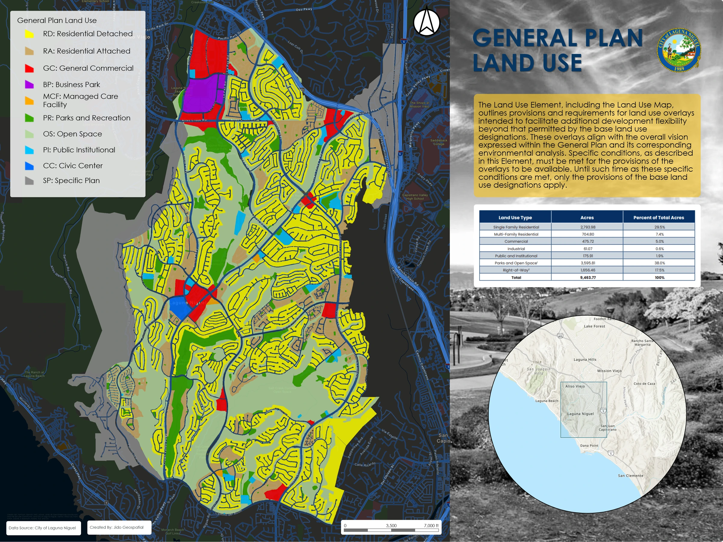 General plan land useA large-format land-use exhibit with clear categories and a strong legend hierarchy.
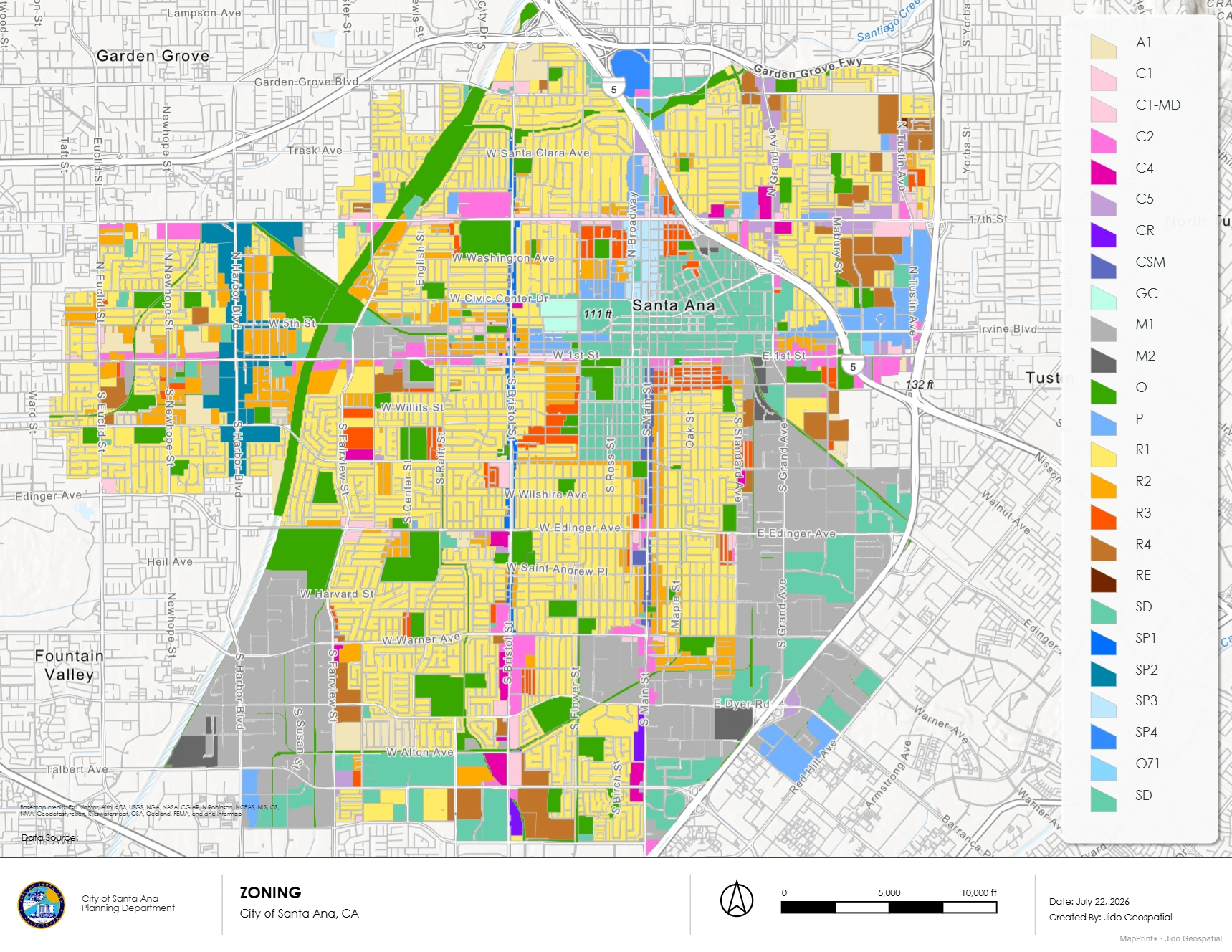 Santa Ana zoningA zoning exhibit that combines detailed category symbology with street context.
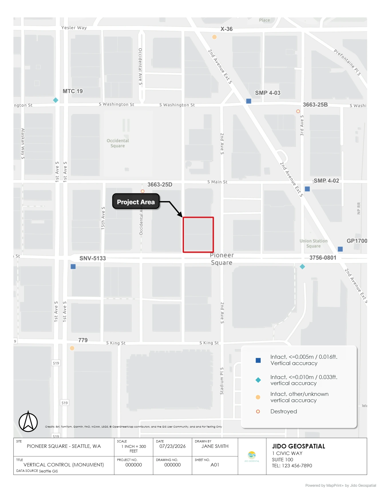
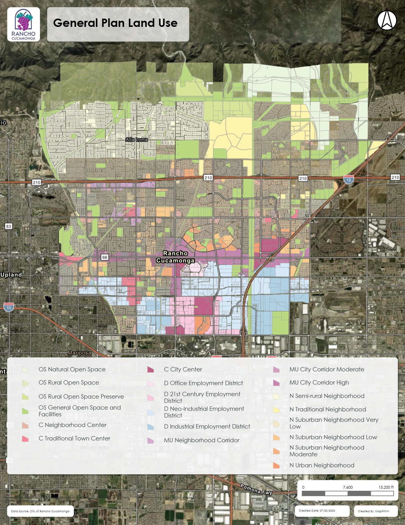 Simple project exhibitA concise portrait layout for a clear site or project-location message.
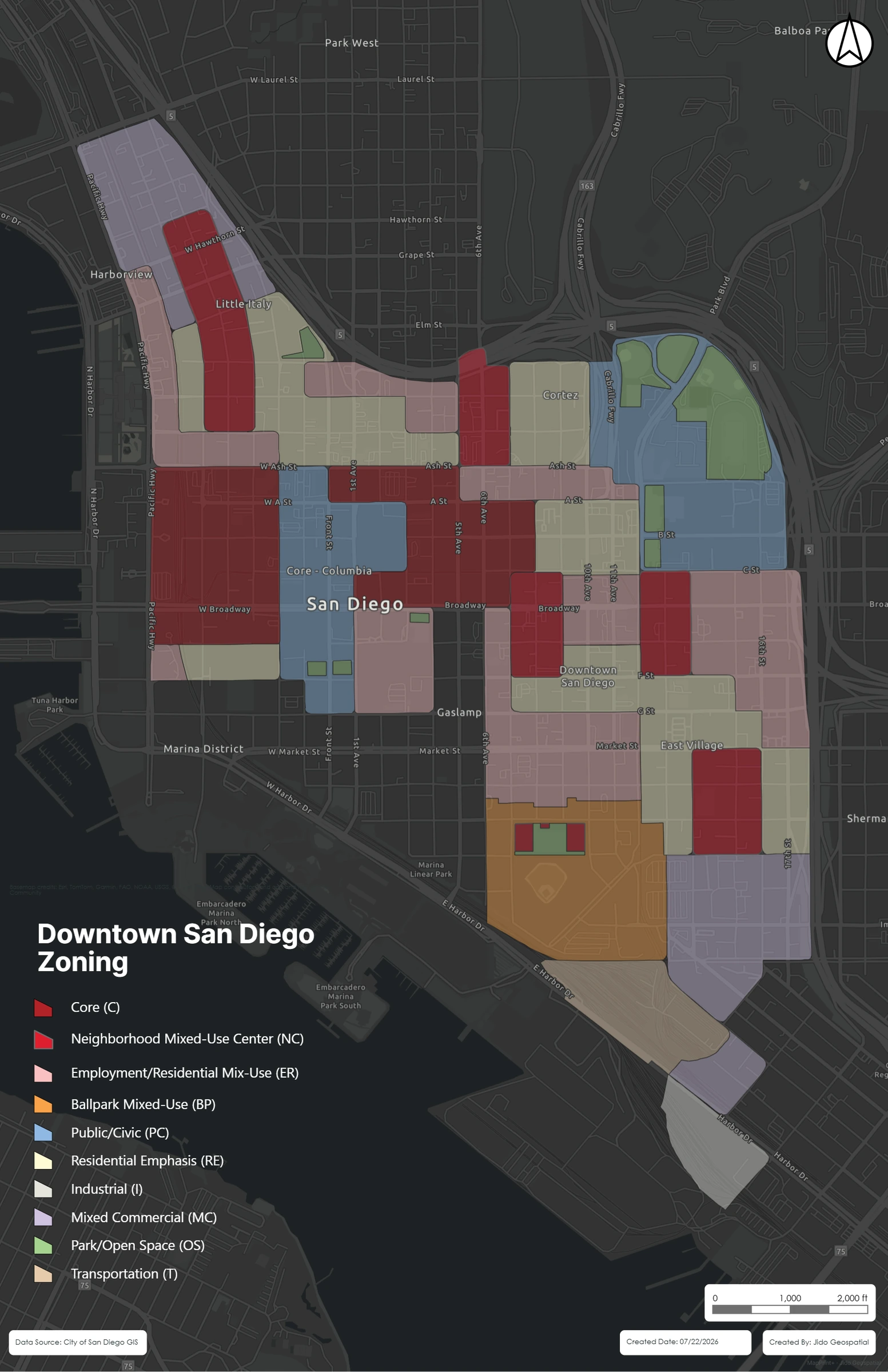 Portrait zoning mapA focused portrait map with strong category contrast.
Engineering and environmental
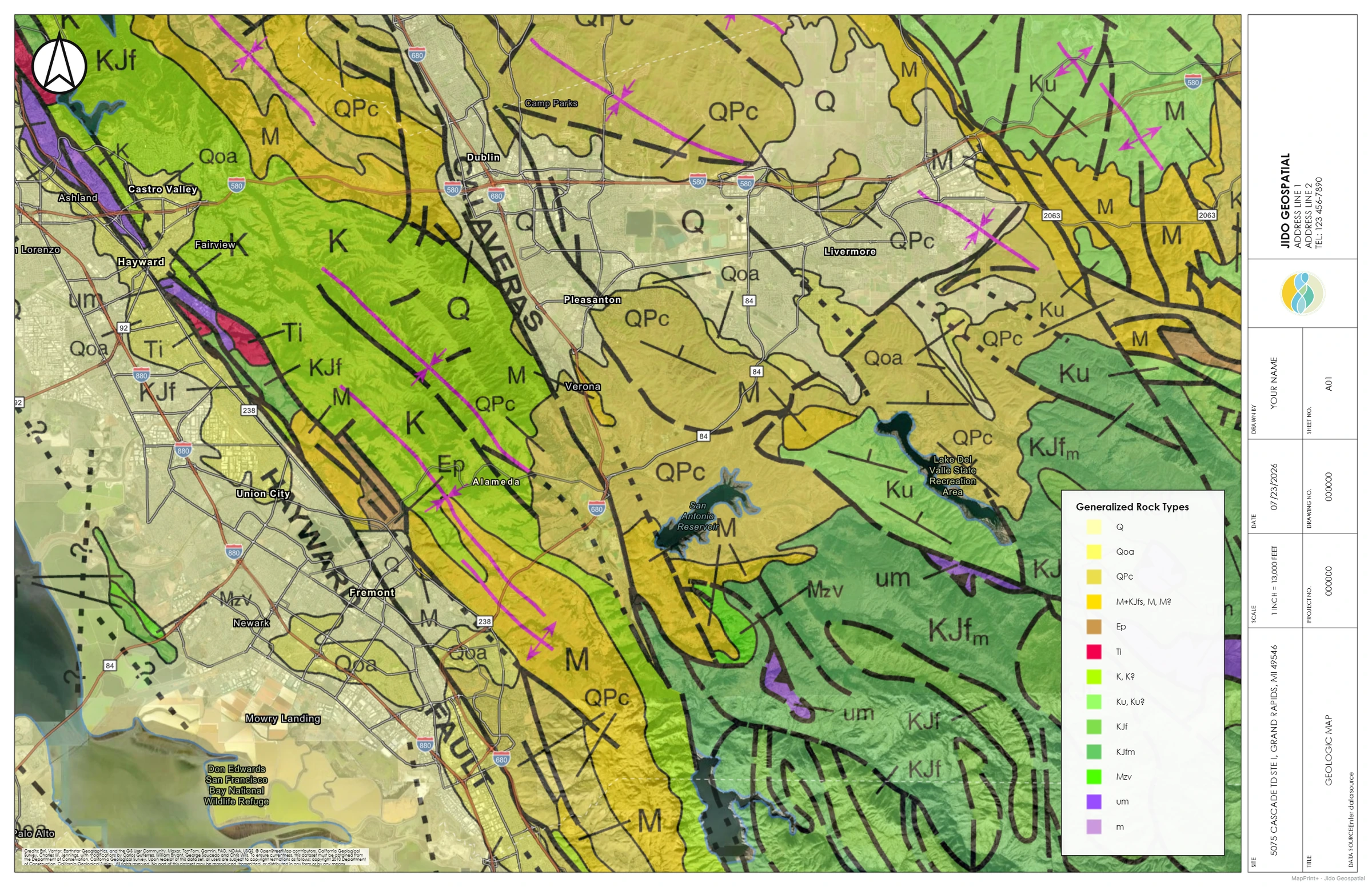
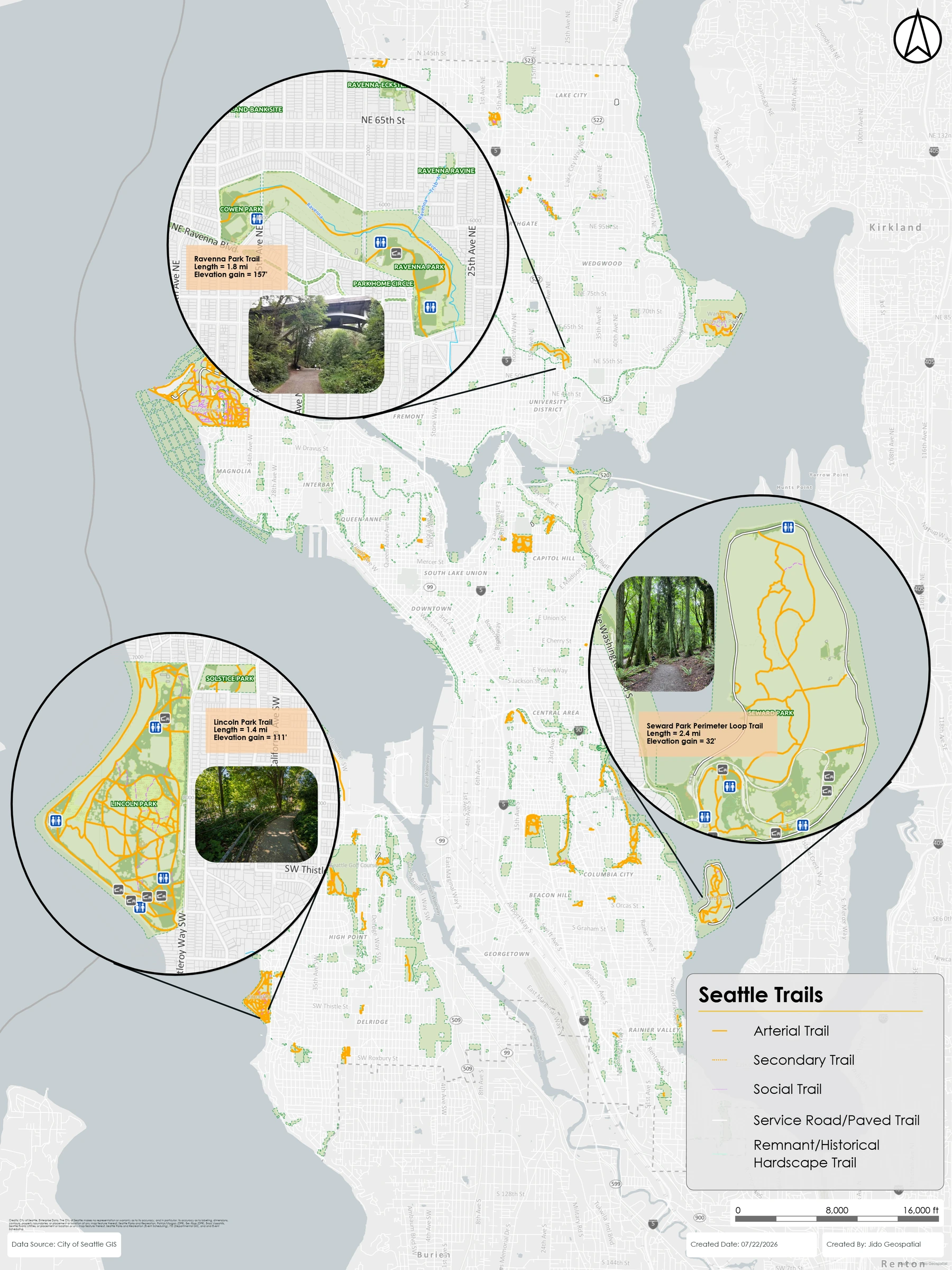
Have a layout like these?
Tell us what your team needs to produce.
Beta requests are reviewed by the MapPrint+ team. Submitting the form does not automatically create an account.